We Will Fly On Your Go.
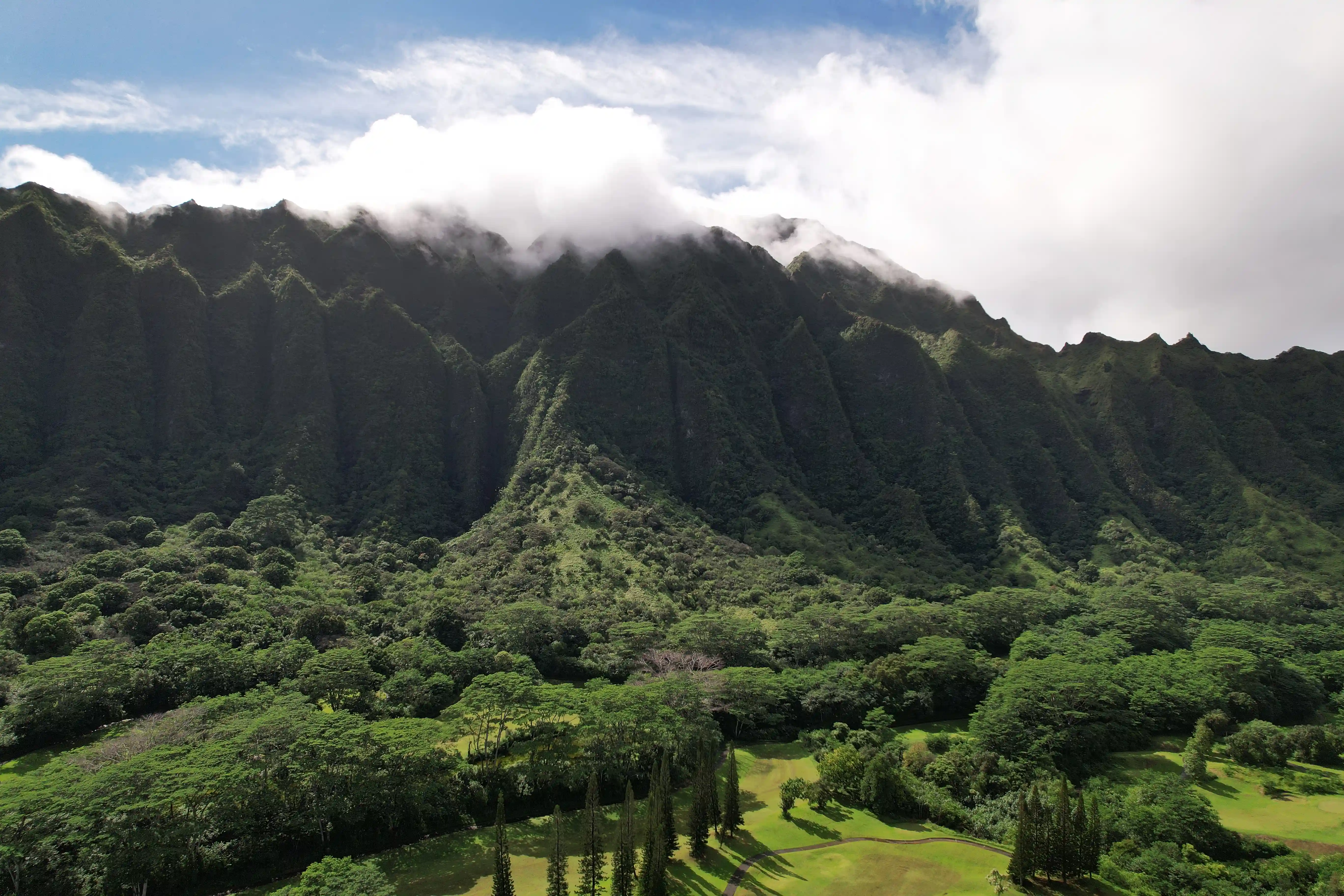
Operating in the beautiful skies of Hawaii, we are a locally-owned drone business with over 20 years of experience ready to guide you through a solution with our extensive knowledge.
Our drone services include aerial photography, video, inspections, and orthomosaic mapping for industries like real estate, construction, utility and beyond.
How We Work
Your voice is heard.
Our in-house operations are based here in Hawaii, allowing for direct communication and flexibility. We have our own team of licensed drone pilots that fully understand your needs so we can directly communicate online and on the spot.
With your business in mind.
Our job starts with understanding the laws and regulations, meeting the requirements, and obtaining permission to ensure a smooth ride for you. We also have insurances that cover up to 3 million dollars in damages to protect your assets.
Leave everything to us.
Operating a drone in Hawaii costs time and money with the need of obtaining licenses and training while understanding laws and regulations regarding flying drones in Hawaii. Our mission is to provide services that could simplify your job at a fraction of the price.
Our Services
Aerial Photograpy
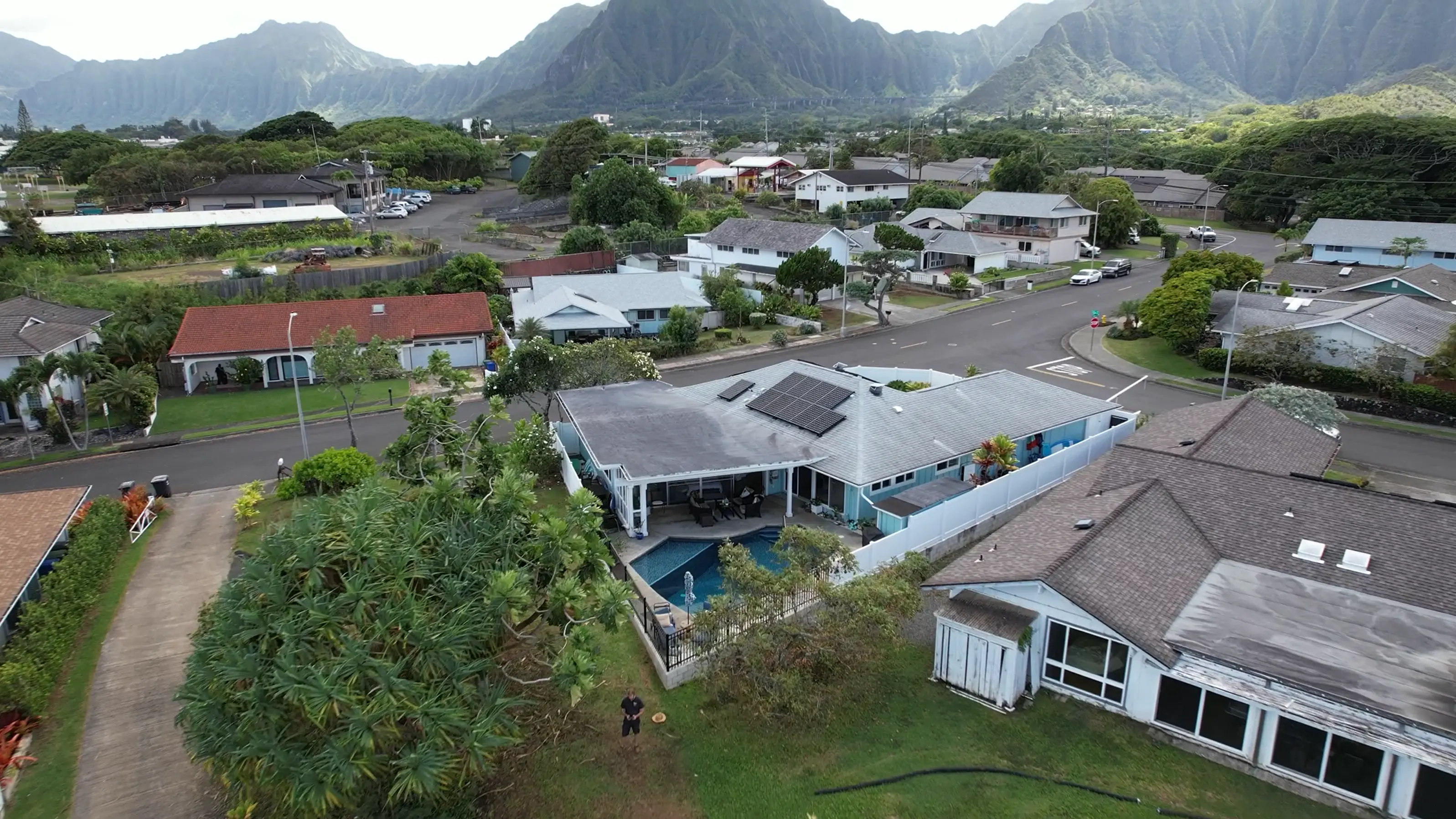
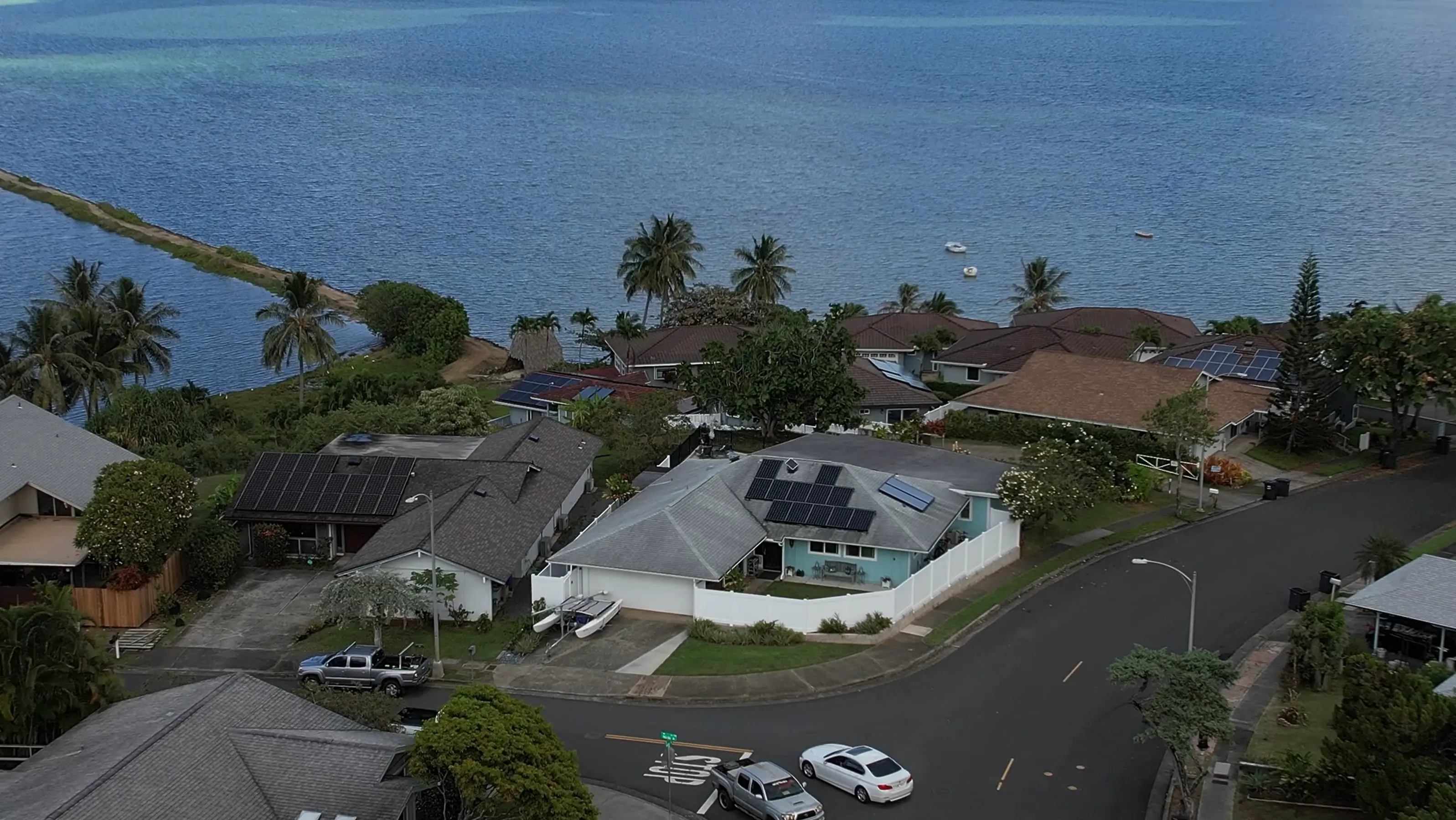
You will get fantastic quality still photos of locations, events, properties, or people. We fly top-of-the-line drones that capture crystal-clear, high-resolution images from every angle.
Drone Videos
Breathtaking video in up to 5.4K HD to promote your properties, goods, or services. The utterly unique perspective of the birds-eye view draws in your audience.
Aerial Inspections
Breathtaking video in up to 5.4K HD to promote your properties, goods, or services. The utterly unique perspective of the birds-eye view draws in your audience.
Orthomosaic Mapping
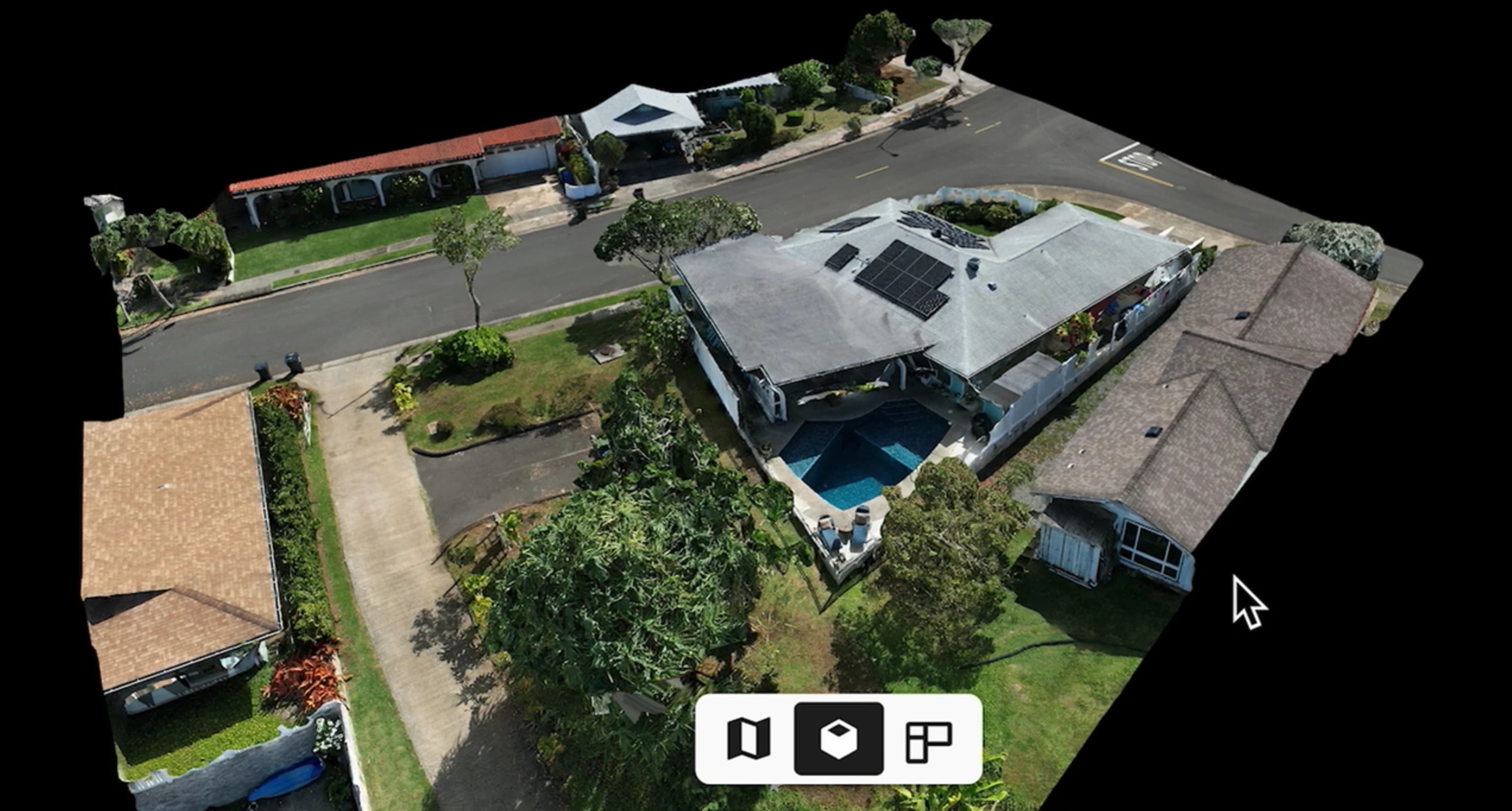
View large areas or buildings or construction sites in a 2D or 3D interactive platform that allows successive maps to be overlayed to compare processes.
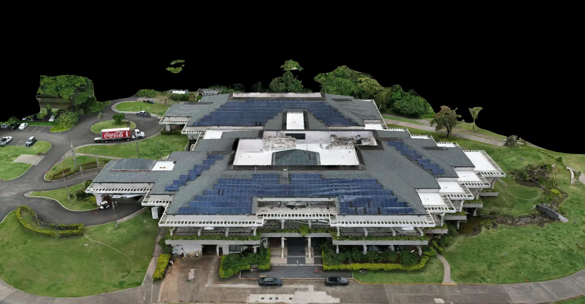
Access advanced software that stitches together hundreds, even thousands of high-resolution aerial photos to produce high-quality interactive orthomosaic maps with up to 0.4 in/px resolution.
Who We Are
